PROMINE supplies a highly usable AutoCAD-integrated interface with powerful, industry-focused modules for planning vital mine planning, from data capture, to planning and design, to operational management.
Geological modeling and advanced analysis
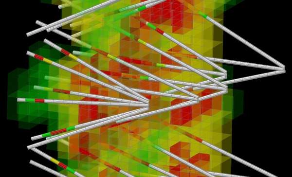
PROMINE software allows geologists to create polygonal evaluations and models of resources, and generate block models from databases or samples inserted directly into the drawing.
Geologists choose PROMINE because it offers modules that focus on resource estimation and block modeling, which will soon be complemented by Geostatistics.
Adaptable and compatible modeling software
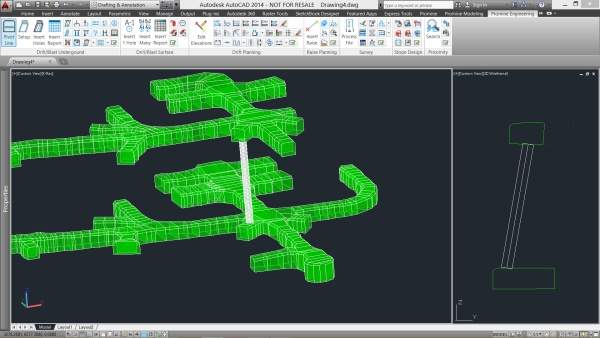
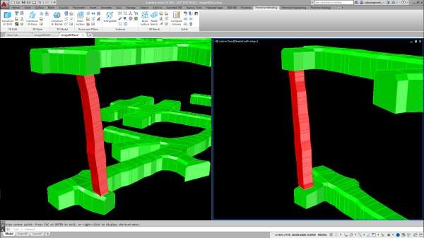
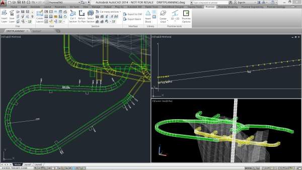
PROMINE’s survey module is so adaptable that it is virtually file type agnostic. The drift planning lets engineers quickly and easily design drifts and ramps. Raise planning allows the design raises from a polyline, quickly and intuitively. Full integration across file types, software and devices make PROMINE easy-to-use and more functional.
PROMINE enables users to import files with ease. When working with other professionals, you need to be able to plug-and-play without facing compatibility issues, which is what PROMINE delivers.
The survey module accommodates CSV, ASC, RAW, RW5, and TXT files, and the Leica file format, as well as the industry-standard data types such as databases, Adobe and Survey Pro files can be imported and manipulated.
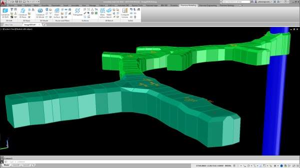
AutoCAD supports Coordination models from 2016 onwards, and allows users to import and export PDFs easily and conveniently. Its 3D-modelling modules help you create full 3D-models, including 3D Drift and Raise directly from data.
2D and 3D-modeling for mine planning
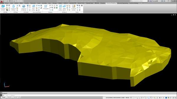
PROMINE is equipped with a complete set of 2D and 3D-modelling tools that help create, visualise and manipulate surfaces and solids.
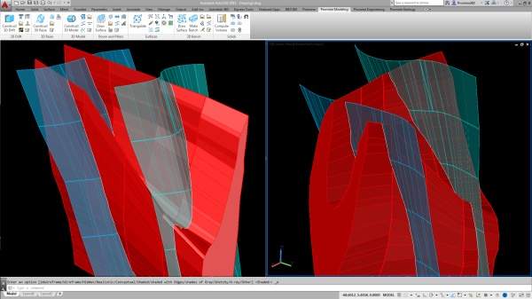
Built on AutoCAD’s powerful 3D-modeling capabilities, working with polygons, meshes and solids has never been easier. You can design models from almost any kind of object such as points, polylines, blocks, or even text.
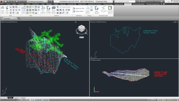
Performing analysis on 3D objects is also straightforward and intuitive. Intersect, union and subtract meshes of any type, attain volume and tonnage, create contour lines and colour by elevation.
Full mining cycle design and analysis
PROMINE directly addresses partial value chain coverage, or lack of vertical integration, which is one of the biggest problems of mine planning software. PROMINE users are covered from exploration and feasibility through to planning, scheduling, operations, and archiving.
The whole mining cycle is supported, meaning greater efficiency and productivity.
PROMINE offers a simple, elegant and powerful tool that users already know how to use.
Collaborative and secure mine model drawing
PROMINE’s filer module manages and synchronises all model layers, making it easy for different departments to work together. Filer lets users update layers in their drawing as soon new information is available. Users can be organised into access groups with different permissions to ensure data integrity.
Customisable and professional geologist reports
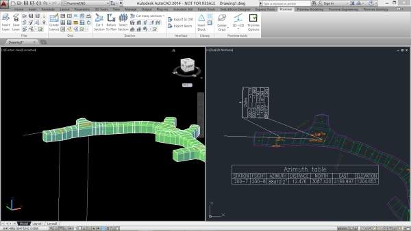
PROMINE’s grid module enables geologists to produce layouts exactly as they want them and are easily scalable to any paper size and orientation.
The layouts can handle multiple views within the same report, creating more detailed and professional-looking documents that are concise and fully customisable with no wasted space.


